Our experienced Registered Surveyor can help with your surveying needs, including Cadastral Boundaries, Subdivision, Strata, Flood levels and Engineering Surveys
Boundaries
Cadastral surveys such as marking boundaries for fencing or construction set out, subdividing land and strata subdivision all need to be completed by a Registered Surveyor
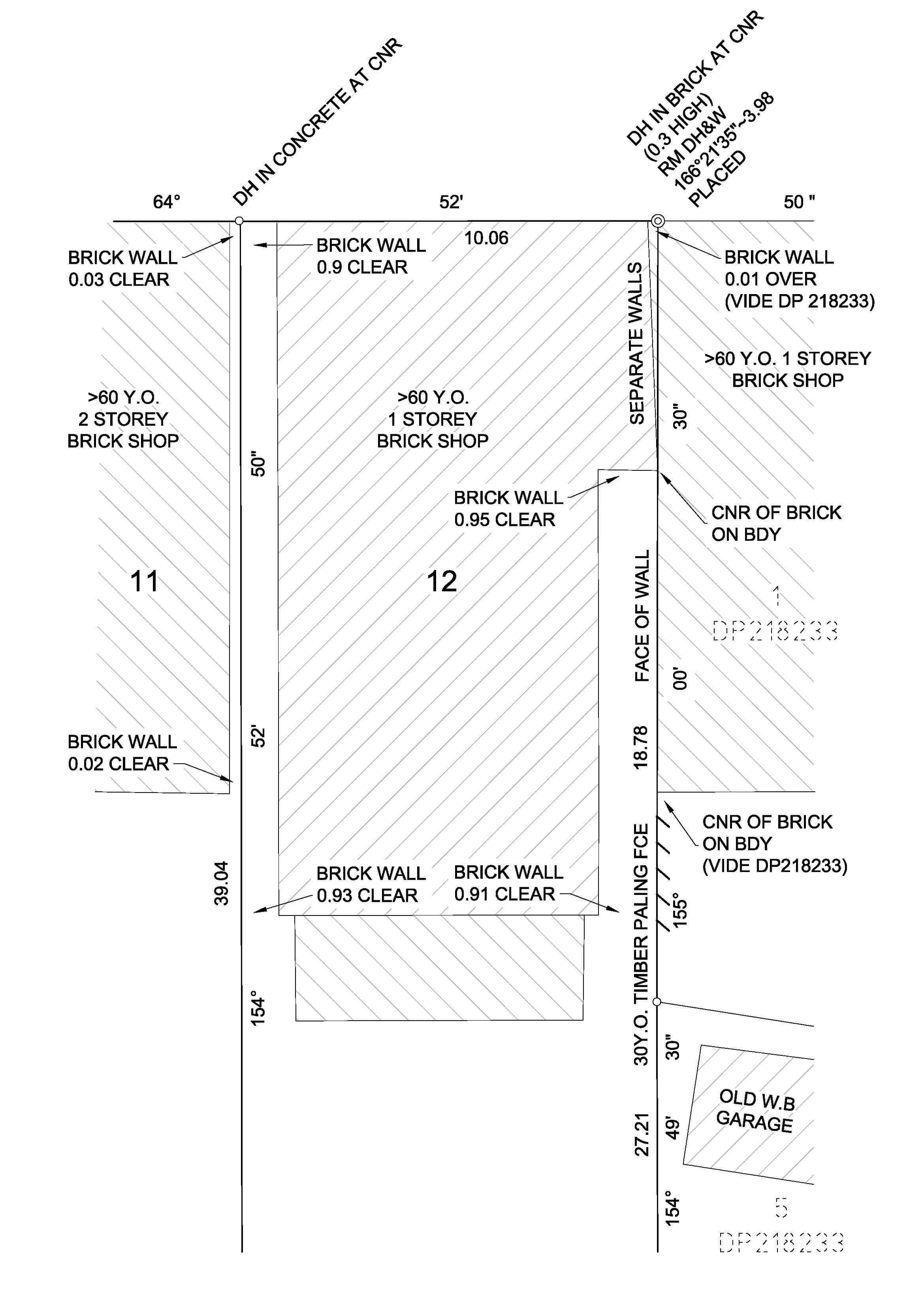
Identification Survey
A cadastral Identification Survey is often completed to report on any improvements that have been made on the land. This may be required when purchasing a block of land or may be a council requirement .
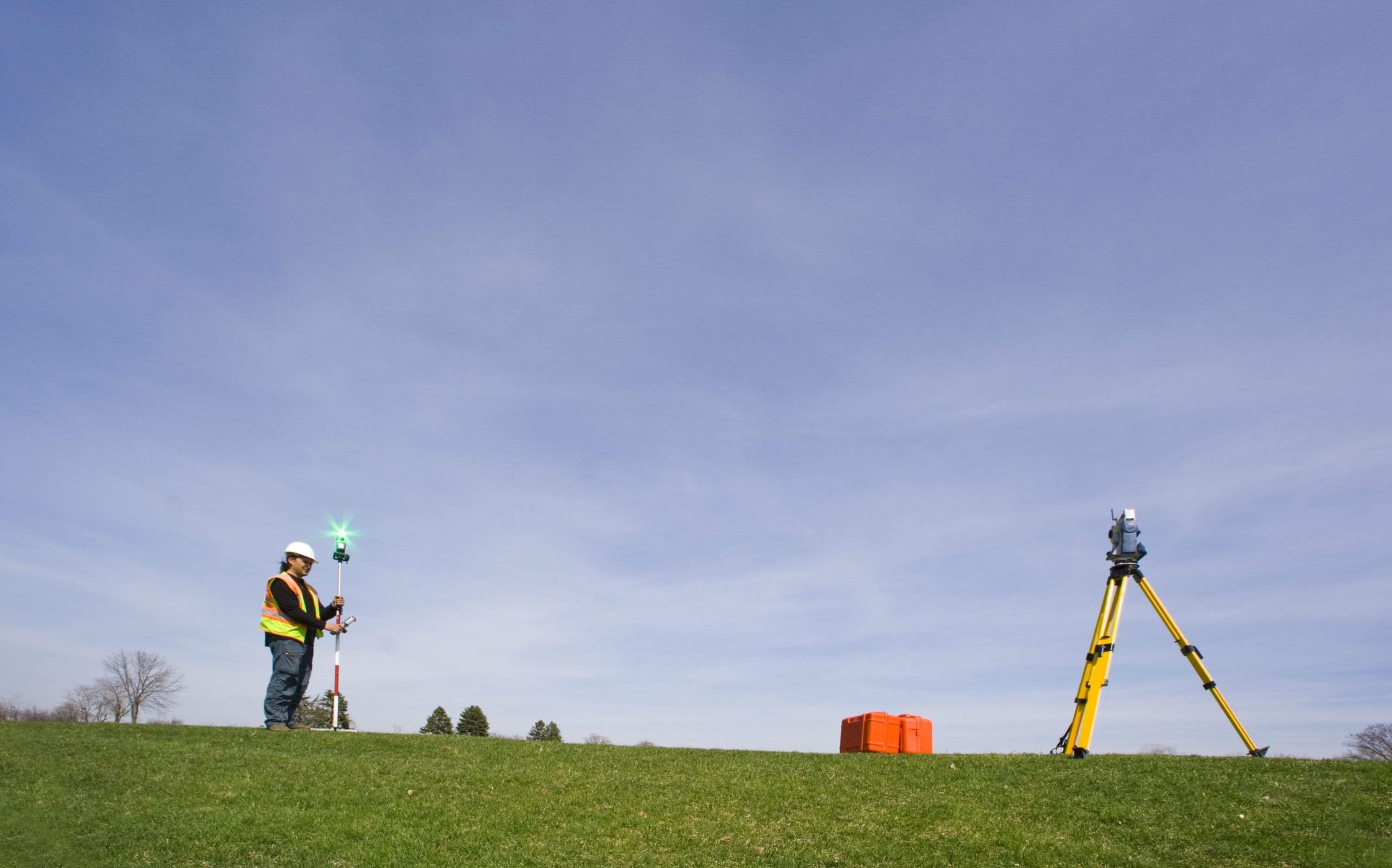
Detail Survey
Detail surveys are often the first step in the development process. Detail surveys provide information on the features that exist on the land. This can include ground levels, the slope of the land, natural and artificial features such as vegetation, buildings, fences and roads, and also provide information on services in the area including water, sewer, Telstra and electricity.
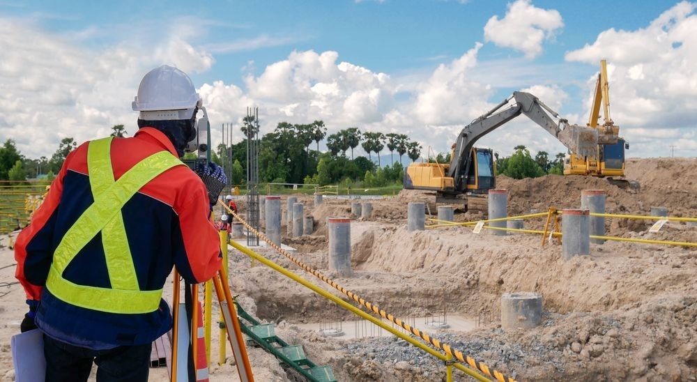
Engineering Survey
Engineering surveys include construction set out, volume calculation, road pavement conformance and work as executed surveys.
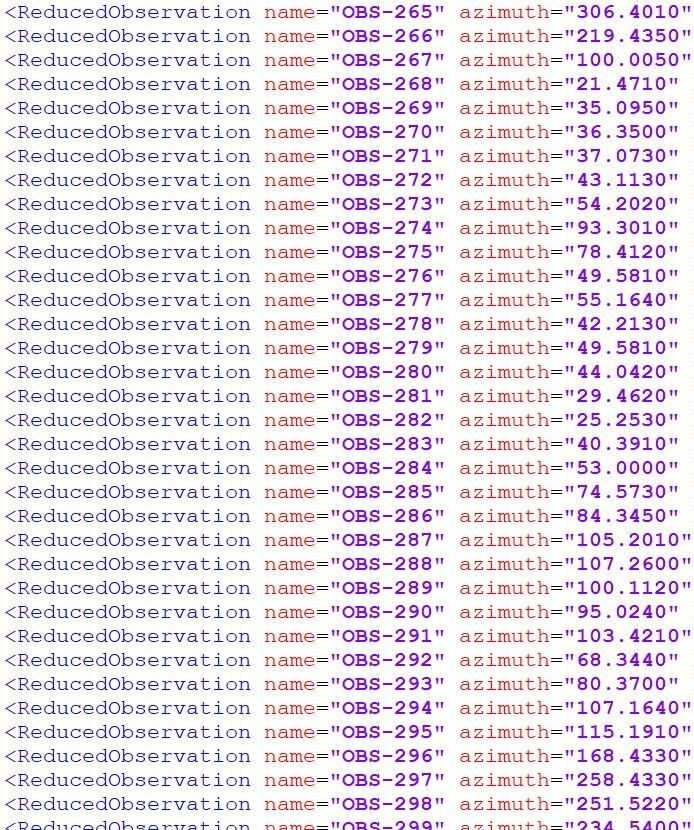
ePlan LAND XML
Land XML is a streamlined way to lodge plans that can help to:
- Reduce the risk of costly delays during plan registration
- Speed up the registration process
- Minimise plan requisitions
Mark Thompson has been involved in the development of programs that can support the creation of Land XML files for lodgment to the NSW Land Registery Services. Mark completed the first Land XML file, that was created using the 12D program, to be registered in NSW. Mark was involved in the Beta testing of 12D and after that gave advice on the development of the Stringer program that creates Land XML files. Mark has produced a number of Land XML files, resulting in over 250 lots being registered using this technology.